The Dives Valley: Landscapes of the Pays d'Auge, From Source to Estuary
The Dives valley is one of the best starting points for understanding what the Pays d'Auge looks like. The river runs for about 65 miles, from Gouffern en Auge, in Orne, where it rises at an elevation of about 800 feet, to the English Channel between Cabourg and Dives-sur-Mer. Along the way, it is not only the slope and relief that change, but the whole landscape, from rolling pastures to broad wetlands. How does it all fit together, and what should you look for on a walk? Here is a description of the valley in a few short parts.
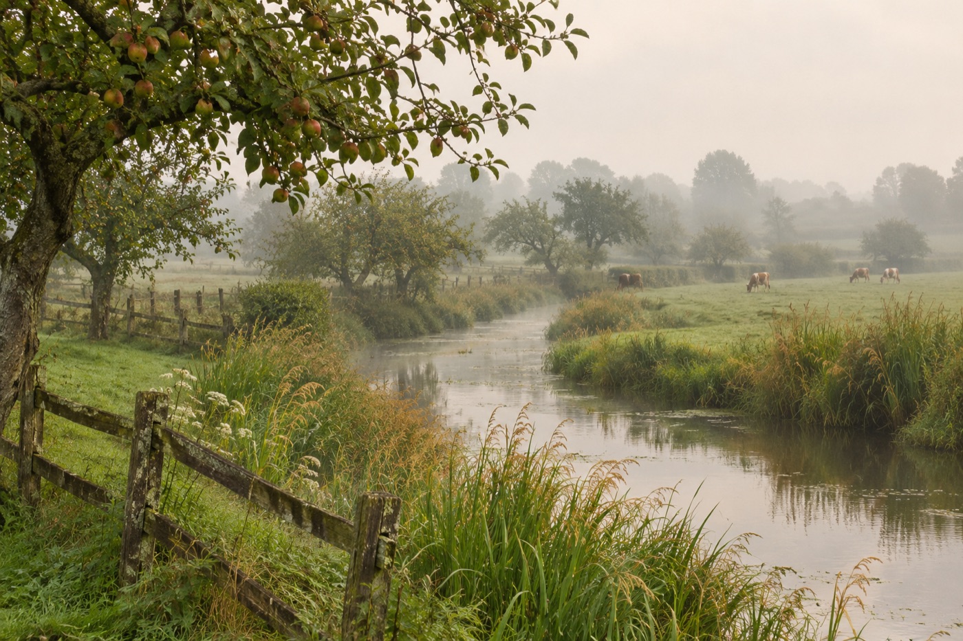
What Are the Dives Valley and Its Basin?
The Dives valley plays an important role across the whole region, because it collects the water of a large part of the territory. Its basin covers about 1,573 square kilometers, roughly 600 square miles. The Dives's main tributary is the Vie, and the Laizon, the Oudon, the Ancre and the Divette also flow into it. Thanks to this network, the water of many small valleys reaches the sea by a single bed. It determines where the land stays dry and where it remains wet, shaping the meadows and fields. You can see the Dives valley as the axis of the whole region.
Each tributary brings its share of water and its piece of landscape, which makes the river a good guide for traveling around the area.
The Pays d'Auge is a plateau at the western end of the Paris Basin. On the seaward side it ends in cliffs generally less than 50 meters high. Differences in elevation show even within a single commune: in Dozulé, the elevation ranges between 8 and 139 meters. From a hill you see broad grasslands, while elsewhere the ground is nearly flat.
The Norman Bocage: Pastures of the Pays d'Auge
The typical image of the region is the bocage, meaning damp meadows enclosed by hedgerows. The Norman bocage owes nothing to chance: it results from the combination of relief and climate. The maritime climate, softened by the Gulf Stream, favors grassland and the raising of cattle and horses. Grass grows well enough here that pastures have become the basis of local agriculture.
The hedges cut the land into small plots, which is what characterizes the bocage. The pastures of the Pays d'Auge thus look like a mosaic of fields where cows and horses graze. Livestock farming here is the natural consequence of the climate and the dampness of the land.
The cooking carries the mark of it too. Camembert, livarot and pont-l'évêque come from neighboring communities and connect the pastures of the Pays d'Auge directly to what appears on the table. In front of meadows lined with hedges, it is good to remember this: it is not just scenery, it is also the landscape that stands behind the regional products.
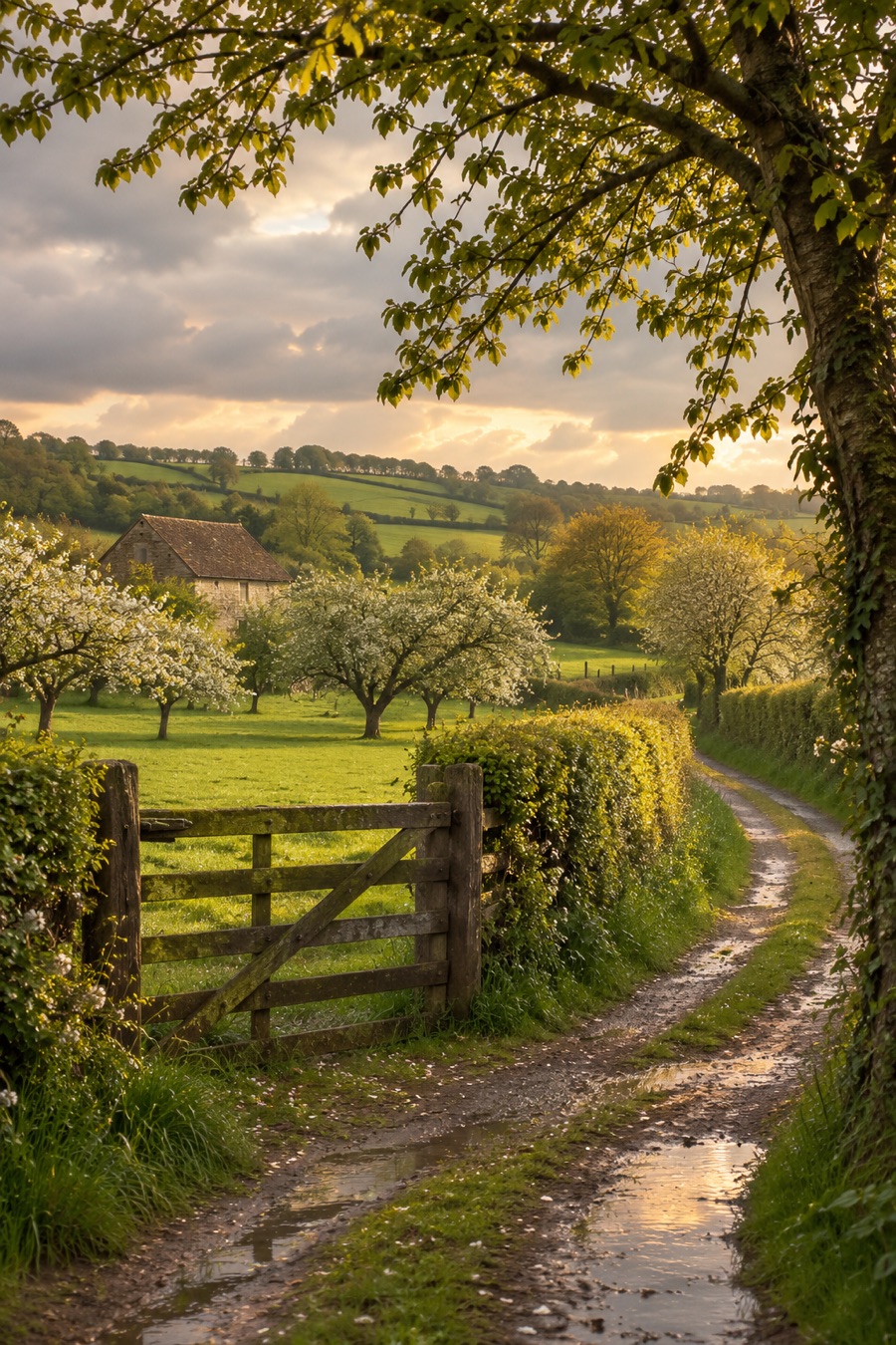
The Dives Marsh: The Wetland Downstream From Mézidon
Downstream from Mézidon, the valley widens and forms the Dives marsh. It is a wetland of more than 10,000 hectares, about 25,000 acres, crisscrossed by a network of drainage canals. The flat ground and the water of the canals offer a view quite different from the hills of the plateau. The Dives marsh shows that the landscape of this valley is not limited to slopes and hedgerows.
Nearby lies another large wetland: the marshes of the Touques estuary cover about 1,500 hectares. The comparison is instructive. The Dives marsh is considerably larger, and its network of drainage canals gives it its character. The Touques marshes are smaller, but in both cases the nearness of the sea and the work of water in forming the land play an important part. It becomes clear that wetlands are as typical of the Pays d'Auge as pastures.
History also played out at the mouth of the Dives. According to tradition, William the Conqueror gathered a fleet of about 600 ships there before the invasion of England in 1066. Today it is hard to picture that scene before these peaceful landscapes, but the story shows how different the relationship between river and sea once could be.
How to Prepare a Walk in the Valley
A walk in the valley calls for a few simple preparations. First, footwear: in damp pastures and near marshy areas, choose models that can take mud. Then the weather: the maritime climate is changeable. Check the forecast before leaving and bring a rain jacket.
Remember that much of the pastureland is private and holds cattle and horses at grass. Do not cross fences, do not leave gates open and avoid frightening the animals. These precautions keep walkers and farmers safe and let you observe the bocage up close in peace.
Why Discover the Dives Valley
The Dives valley brings together in one place what is most characteristic of the Pays d'Auge: pastures, bocage and marsh. From the source, at about 800 feet, to the mouth near Cabourg, the landscape changes gradually, and each stage reveals another side of the region. To travel the valley is to discover Normandy off the beaten path. Our other articles on the area around Dozulé will help you plan an outing of your own.